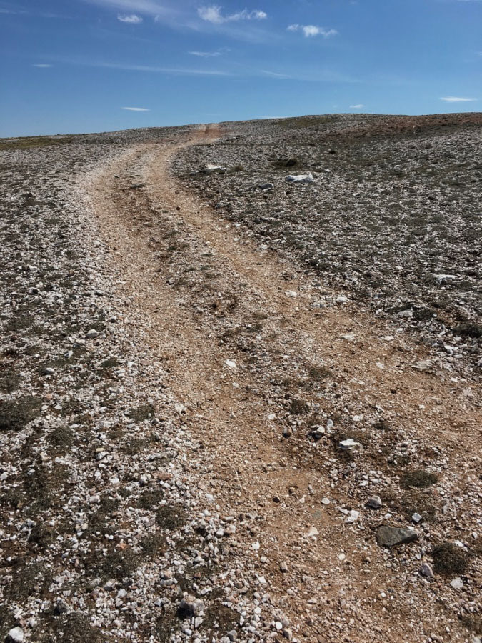
The first sunny day for ages and I am standing in the middle of the heather wasteland that makes up large chunks of the Berwyn hills, searching for a faint track that I was fairly sure existed but simply could not see.
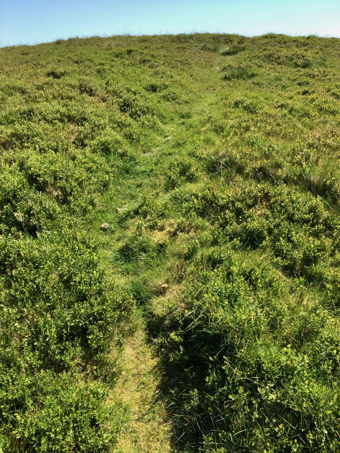
The only guide book I have to Welsh hills had implied that you would be mad to attempt Post Gwyn, an isolated summit, across this godforsaken moor of heather and bog from the top of the road to Bala. But there has been for years a ‘permissive’ path from that road to the highest Berwyn hills, and I had spied a faint trod that led off the main path on my laptop the night before. Why not? After all the guide book was 25 years old and I’m a tough enough wily hillwalker I thought.
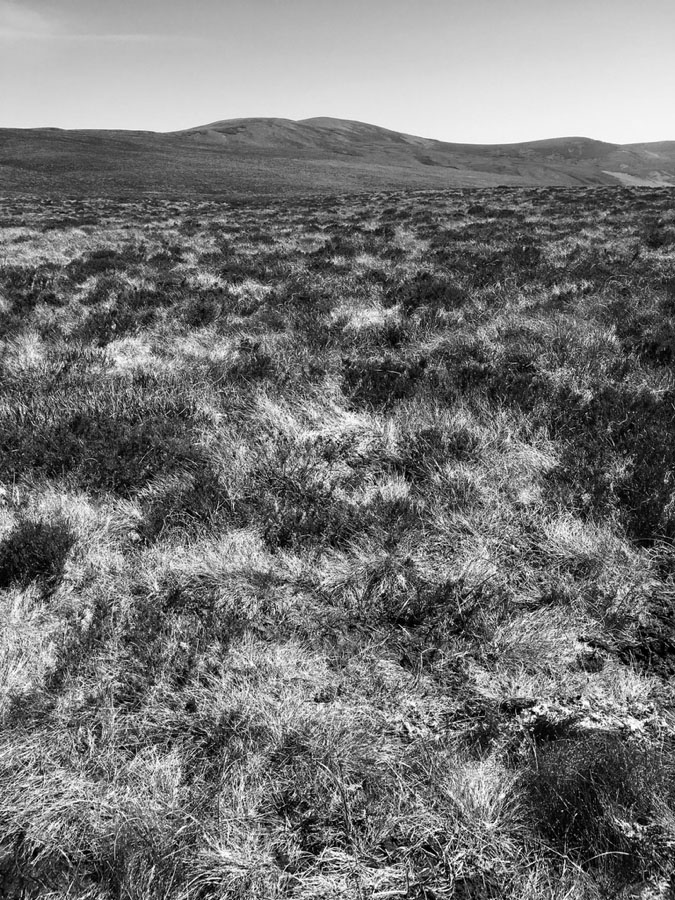
The trouble is on the ground things ain’t that simple! I could see no track. Though it was dry, recent rains meant the bogs were squidgy enough to go over the top of your boots if you were careless; between the mounds of deep heather and moor grass stretching as far as the eye could see, it was going to be painfully slow progress. Luckily the mobile signal up here was strong and I opened up the satellite view, zoomed in and there was the track right by my little blue dot. I looked down at my feet and there indeed was the track hidden until I knew exactly were to look. I was saved. A few hundred yards further and yet again the satellite maps rescued the day and made the unseen visible.
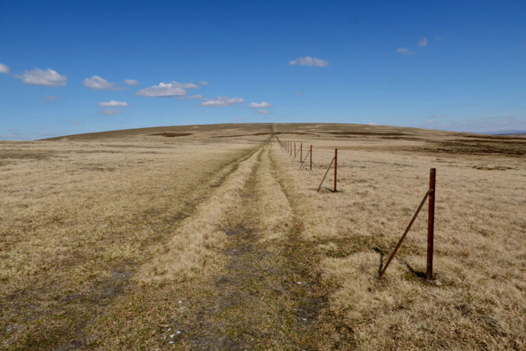
Now lest anyone thinks I am advocating navigating across wild and untracked hills by mobile maps and satellite imagery alone, don’t get me wrong. The Ordnance Survey maps show the lay of the land, the slopes, summits and valleys no matter whether there is a mobile signal or not, always providing the bigger picture and in most cases the smaller one too.
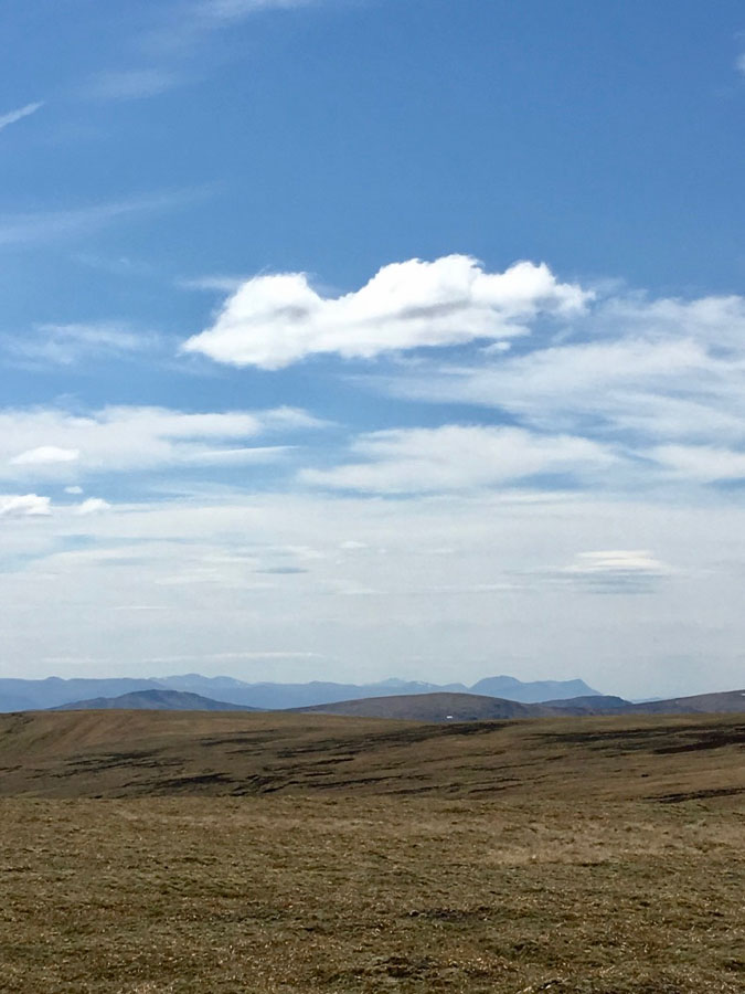
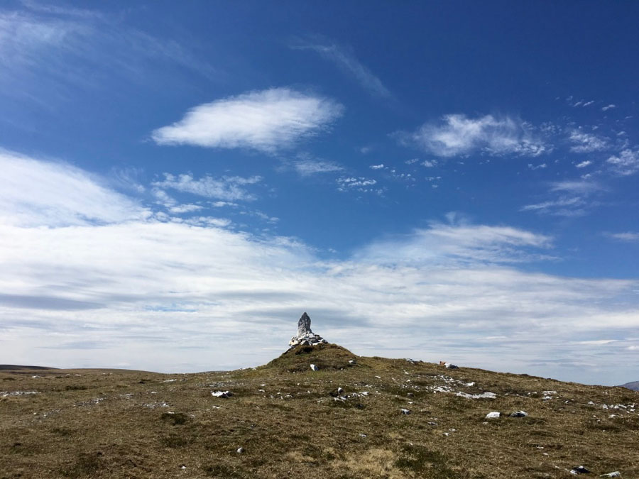
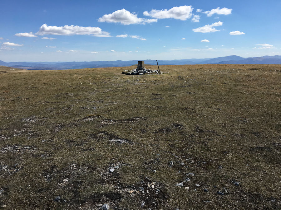
On the last day of a mini May heatwave I strolled over the bone dry summits to the east of the Drummochter Pass. It was a long hot day, the sun glinting off the remains of a quartzite quarry and burnishing the winter brown grasses. Yet though there were only fair weather clouds in the sky I came to a point where I wasn’t sure exactly which way to go, the rolling hills lying low against the plateau and the summit I sought hidden from view. And, as much as one would on a cloudy day, I placed my compass on my trusted Ordnance Survey map and corrected my errant wanderings to easily wend my way to a small cairn and a gradual opening of the view south right across the best of the Southern Highland peaks.
Two fine days a month apart, two types of maps and two successful walks.